Internet Explorer 11 is not supported

For optimal browsing, we recommend Chrome, Firefox or Safari browsers.

Walk to Work: Commuting Statistics, Metro Area Map

Data shows metros areas where most people walk to work throughout the U.S.

public_transportation_thumb_map
Governing compiled 2011 American Community Survey data on commuting habits for more than 300 metro areas. Click a marker to display data for commuters walking to work and other transportation types.

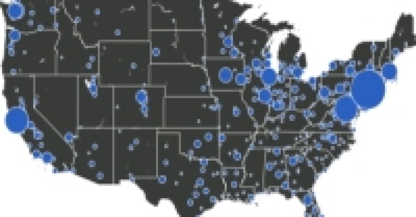
Larger icons represent metro areas with higher percentages of commuters who walk to work. Statistics for walking to work are low because the Census Bureau's survey records a single transportation type for a person's longest distance traveled. Workers walking to subways, for example, only count as public transportation commuters.

Some users will need to zoom in before clicking a city. Please zoom out or pan the map to view Alaska, Hawaii and other areas.

Mike Maciag is Data Editor for GOVERNING.
Special Projects